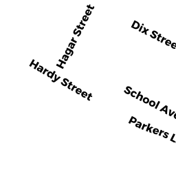
11 -13 HAGAR ST
Owner Information
30-32 HARDY ST.RLTY TR;
32 SCHOOL AVEUNE
WALTHAM, MA 02453-6568


Property Details
11 -13 HAGAR ST is classified as a Two-Family Residential (Two family).
The primary structure on this property was built in 1920. There are 2,640ft2 of built area within this property. There is 2,640ft2 of residential/living space within this property. This property is listed as having 12 rooms. There are 2 units within this property.
11 -13 HAGAR ST is valued at $759,500. The land is valued at $332,600 and the structures are valued at $426,900.
The most recent deed for 11 -13 HAGAR ST is recorded at the local registrar in Book 70246, Page 533. 11 -13 HAGAR ST was last sold on Thursday, November 16, 2017 for $1.
Assessment data from fiscal year 2022.
Flood Data
According to the FEMA National Flood Hazard Layer, this property does not appear to be in a flood zone. It may also be in an area not yet reviewed. Nonetheless, confirm this information prior to taking any action.
To view the flood hazards around this property, create a FEMA "Firmette" Map of the area around 11 -13 HAGAR ST.
Broadband Internet Providers
| Provider | Type | Bandwidth (mbps) | |
|---|---|---|---|
| Viasat Inc | Satellite | 100 | 3 |
| VSAT Systems, LLC. | Satellite | 2 | 1 |
| HughesNet | Satellite | 25 | 3 |
| T-Mobile | Fixed Wireless | 25 | 3 |
| GCI Communication Corp. | Satellite | 0 | 0 |
| RCN | Cable | 1000 | 20 |
| RCN | Cable | 500 | 20 |
| Comcast | Cable | 1000 | 35 |
| Verizon New England Inc. | Fiber | 940 | 880 |
| Verizon New England Inc. | DSL | 10 | 1 |
Broadband service provider data from December 2020.